A spatial analysis of COVID-19 risk and recovery in Canadian cities
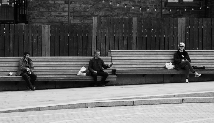
 Photo by Byron V.
Which neighbourhoods in Canadian cities are most vulnerable to COVID-19 spread, and which neighbourhoods have the built-environment and socioeconomic resources to best implement social distancing and sheltering in place in the long period of recovery? This project applies urban spatial analysis methodologies to produce neighbourhood-scaled analyses of 1) COVID-19 transmission risk, and 2) opportunities and threats to social-distance-based recovery policies in Canadian cities. Travel-based transmission risk is measured through a network analysis of a unique dataset of millions of journeys through Airbnb originating or arriving in Canadian neighbourhoods. Community transmission risk, as well as opportunities and threats to social-distance-based recovery policies, are measured through dissemination-area-level demographic and built-environment characteristics. The results will be synthesized into risk profiles for Canadian neighbourhoods, and an inventory of built-environment interventions which policymakers should consider implementing to improve the prospects for travel restrictions and social distancing to be effective in the months ahead.


